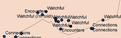
I use a GPS device to mark my discoveries along the Border. Back at Queen’s University I upload the data from the GPS, convert it with Grid InQuest, and display it cartographically with ArcGIS. Lorraine Barry is the technician in the GIS studio and I must thank her for answering all my damn-fool questions. I have never studied geography and when I decided to re-map the Border I did not even know what the Irish Grid was. As a beginner with the hardware and the software my outputs are basic but I am getting better.
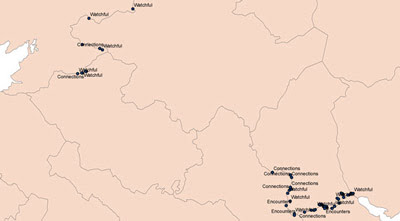
On this scale many of points are lost but my first map does give an idea of how much of the Border I have travelled so far. I have a ways to go yet, I realise. The three types of marking refer to the different maps I am producing. Finished maps will no longer feature the border or county boundaries.


No comments:
Post a Comment