23 January 2008

At the peak of Holywell Hill


In Ireland the sound of desolation is the sound of wind blowing through the gaps in a pylon, sometimes accompanied by the uneven rhythm of a loose cable slapping against the metal infrastructure. You will be exposed. You will be cold.

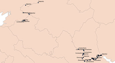
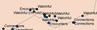
Near Londonderry tracks make their way to the peak of Holywell hill from both sides of the Border. The Border goes right over the crest. Just in the Northern side is a holy well. A small pool is lined in stones. It is the most lonely and humble pit I have ever seen. Pipes, the leftovers from the engineering work nearby, have been left too close to it. The fence dips and two old stones have been placed to help people step over and visit the well. This is a connection for the Map of Connections. (Ele 264m IC 38535 ITH 17005, Irish Grid)

4 January 2008

My first map

I use a GPS device to mark my discoveries along the Border. Back at Queen’s University I upload the data from the GPS, convert it with Grid InQuest, and display it cartographically with ArcGIS. Lorraine Barry is the technician in the GIS studio and I must thank her for answering all my damn-fool questions. I have never studied geography and when I decided to re-map the Border I did not even know what the Irish Grid was. As a beginner with the hardware and the software my outputs are basic but I am getting better.


On this scale many of points are lost but my first map does give an idea of how much of the Border I have travelled so far. I have a ways to go yet, I realise. The three types of marking refer to the different maps I am producing. Finished maps will no longer feature the border or county boundaries.